

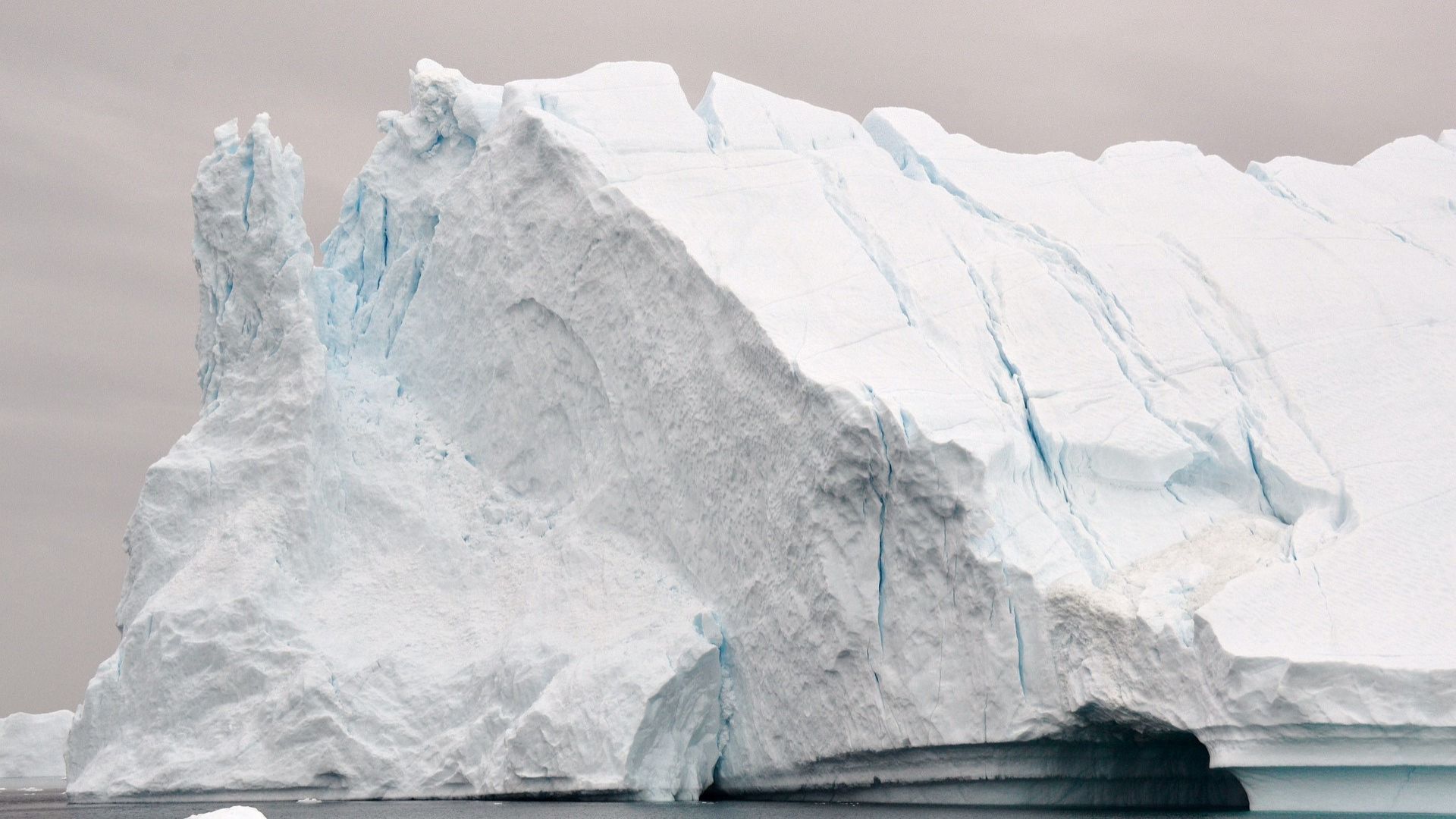

Seismic signal from the Greenland Tsunami Wave was detected by sensors around the globe, prompting scientists to trace its origin. A huge landslide in a Greenland fjord reportedly set off the wave that reportedly shook Earth for nine days in September 2023. The landslide, involving a collapsing mountainside of rock and glacial ice, reportedly generated a 200-meter wave.
This Greenland Tsunami wave was trapped in the narrow fjord and oscillated back and forth for nine days. As per a BBC report from Sept. 12, scientists reported that such landslides became more common with climate change as melting glaciers destabilized Greenland's mountains.
The findings, published in the Science journal, stem from a detailed, yearlong investigation. The team discovered that Ella Island, located approximately 45 miles from the landslide site, was struck by a tsunami with a height of at least 13 feet. Initially, when the unusual signal was detected last year, it did not resemble a typical earthquake and was termed an unidentified seismic object.
The signal appeared repeatedly every 90 seconds for nine days. Scientists reportedly began discussing the perplexing signal on an online platform. One of the scientists, Dr. Stephen Hicks, said his colleagues from Denmark, who frequently conducted fieldwork in Greenland, reported a tsunami in a remote fjord. This led to a collaboration between the teams.
Researchers used seismic data to pinpoint the signal's origin to Dickson Fjord in East Greenland. They also collected additional evidence, including satellite images and photographs taken by the Danish Navy shortly before the signal appeared. One satellite image revealed a dust cloud in a fjord gully, and comparing the before and after event photos showed that a mountain had collapsed sweeping a part of a glacier into the water.
Furthermore, the researchers determined that 25 million cubic meters of rock fell into the water, generating a 200-meter-high "mega-tsunami." In the post-event photos, a mark left on the glacier by the sediment from the Greenland Tsunami wave was visible.
The Greenland Tsunami Wave was reportedly trapped
The BBC report stated that Tsunamis, typically triggered by underwater earthquakes, usually dissipate within hours in the open ocean. However, the Greenland Tsunami wave was confined. According to Dr. Hicks,
“This landslide happened about 200km inland from the open ocean. And these fjord systems are really complex, so the wave couldn't dissipate its energy.”
Dr. Hicks noted that such a prolonged and large-scale movement of water had never been observed before. Scientists attribute the landslide to rising temperatures in Greenland, which have caused the glacier at the mountain’s base to melt.
According to Dr. Hicks, the glacier, which was supporting the mountain thinned to the point where it could no longer hold it up. He added that this event might represent the first instance of climate change impacting the Earth's crust on a global scale. Although the landslide occurred in a remote area, some Arctic cruise ships visit these fjords. Fortunately, none were in the vicinity of the landslide.
Dr. Kristian Svennevig from the National Geological Surveys for Denmark and Greenland (GEUS) noted in the BBC report that such events were becoming increasingly common in the Arctic. He explained that while the Dickson Fjord landslide alone did not confirm trends like the Greenland Tsunami wave, its unprecedented scale highlights the need for further research.
Love movies? Try our Box Office Game and Movie Grid Game to test your film knowledge and have some fun!